County Line or River Course: Two Different Kinds of Boundary
A county line and a river course answer different questions. Learn how to read each boundary accurately and choose the right one for your map or visit.
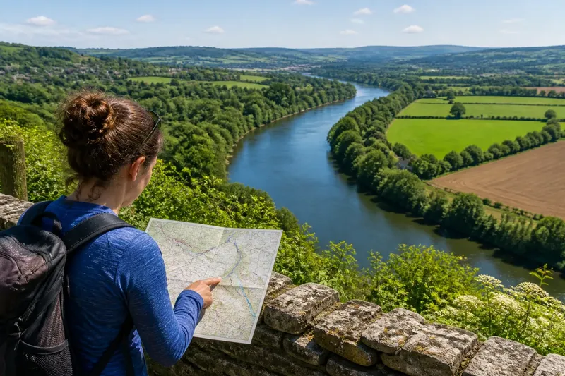
Is the county line the river, or does the river simply run near it? A county line and a river course can share a stretch of ground, but they are not interchangeable: one marks an administrative division, while the other describes a channel through the landscape. Knowing which line you need helps you read a map, plan a visit, or explain where a place belongs without turning a coincidence into a rule.
Two different questions
A county boundary answers a civic question: which county has authority over this location? It can matter for local administration, property records, public services, elections, or the way an address is described. The exact responsibilities attached to a county vary by place, but the boundary’s purpose is administrative.
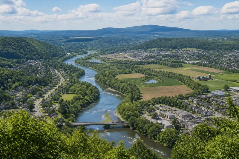
A river course answers a physical question: where does water flow through the land? A map may show the channel as a blue line, a pair of banks, or a broader water feature. The river’s course also has a visible form on the ground, although that form can shift as water cuts, deposits, or redirects sediment.
These lines may meet or overlap, but their meanings remain different. A county line can cross dry land, pass through a town, follow a ridge, or trace a water feature. A river can run wholly within one county, cross from one county to another, or lie beside a boundary for a stretch.
Why a boundary follows water
A river can make a useful dividing feature. It is often easy to identify in the landscape, and it can separate settlements or parcels without requiring an abstract line to be marked across every field. For a person looking at a local map, a river-following county line can feel intuitive: the water seems to provide a ready-made edge.
But a natural feature is not automatically an administrative boundary. A county line follows a river only where the relevant boundary description or official mapping says it does. Elsewhere, the two may diverge because the boundary follows a surveyed line, a road, a ridge, or another feature instead.
Even where a boundary does follow a river, the phrase “the county line is the river” may conceal more than it explains. A map can simplify a winding channel, and the river’s visible banks are not necessarily the legal line. The boundary might be described in relation to the channel, a bank, or another defined feature. That distinction matters most when someone needs an authoritative location rather than a general sense of direction.
Three ways to read the lines
Use the county line for civic questions
Choose the administrative boundary when the question concerns which county a place belongs to. For example, someone checking a service area or the county named in an official address needs an authoritative boundary source, not just a road map that happens to show a nearby river.
This approach suits residents, property researchers, local historians, and visitors trying to understand how a place is organized. A county boundary map is useful for orientation; a relevant government or official property record is a better choice when the answer has practical or legal consequences. If a specific decision depends on a boundary, consult the responsible local office or a qualified professional.
Use the river course for landscape questions
Choose the river line when you want to understand the physical landscape: where a channel runs, how it relates to a valley, or why a route follows a particular bend. A topographic map can show the river alongside contours, roads, and nearby landforms, while a current local map may help identify the channel’s present appearance.
This suits walkers, geography readers, and anyone describing a landscape rather than determining jurisdiction. A river map can make the relationship between water and neighboring places clear, but it does not settle which county contains a particular point.
Compare both for a boundary question
When the question is whether a river and county line coincide, look at both kinds of information and compare them at the same location and scale. Start with a county boundary source for the administrative line, then use a map with enough detail to see the river’s bends and nearby roads. A broad regional map may make two close lines appear identical simply because it leaves out small curves.
This is the best approach for map readers, local educators, and visitors who want to explain why a county follows a river in one place but not another. Treat a visual match as a clue, not a final determination: the map’s purpose and level of detail affect what it can show.
How to choose the right line
Start by stating the question in ordinary language. “Which county is this address in?” calls for an administrative boundary. “Where does the river run?” calls for a physical map. “Does the county line follow the river here?” calls for comparison.
Then choose a source suited to that question. A road atlas may show county lines clearly enough for a trip, while a detailed topographic map is better for following a channel through a valley. If you need a boundary answer tied to a property or official responsibility, check the relevant government or land-record source rather than relying on a general-purpose map.
Say you are planning a walk near a river that seems to divide two counties on a paper map. You want to know which county a riverside picnic area belongs to, not just which side of the water it appears on. You could use the map to locate the area, then check an official county or property source for its jurisdiction; the observable result is a more precise county answer without assuming the river itself sets the line.
What is not worth the effort is tracing every small bend on a broad map to prove that a boundary follows the channel. The map may be too generalized to support that conclusion. Use a more detailed or authoritative source only if the distinction matters to the question you are answering.
Questions about river boundaries?
Does a county line always follow a river?
No. A county line may follow a river in some places and cross or leave it in others. The boundary’s official description, rather than the river’s presence, determines where the administrative line runs.
Can a river move away from a county line?
A river channel can change position, while an administrative boundary may be defined separately or in relation to a specified part of the watercourse. Whether a boundary changes with a channel depends on its governing description and applicable rules, so a general map cannot settle every case.
Which map should I use to find a county boundary?
Use an official county or government map for orientation, and check the responsible local authority or property records when the answer affects an official matter. A road map can be convenient, but its purpose may not be to show a boundary at a level suitable for a precise decision.
Why do maps make the river and boundary look identical?
At a small scale, maps simplify winding features so they remain readable. A river and nearby county line may therefore appear to share one stroke even where a more detailed view would show a gap, crossing, or difference in course.
Keep the meanings separate
A county line organizes civic space; a river course describes moving water and the land it passes through. Where the two appear together, the map is showing a relationship, not proving that the features have the same purpose or exact position.
For a broad explanation, it is fine to say that a county boundary follows a river when a suitable source supports that description. For a precise location, name the source and the question it answers. Keeping that distinction in mind makes the county line or river course easier to read—and helps you avoid asking a landscape feature to answer an administrative question.