Why a River Basin Connects Places Beyond the Riverbank
A river basin connects places beyond the riverbank by carrying water, sediment, and shared responsibilities across ridges, fields, and town boundaries.
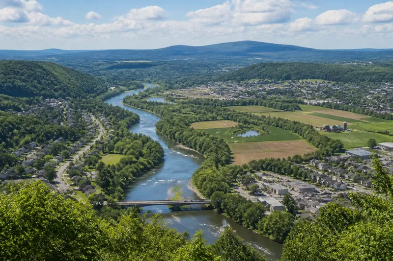
Why does a river basin connect places that look separate on a political map? A river basin connects them because rain and snowmelt drain from a whole area toward a common outlet, carrying water and traces of the land along the way. The stream in town may be only the visible thread; its basin reaches uphill into neighborhoods, farms, woods, and small tributary valleys.
River basin geography
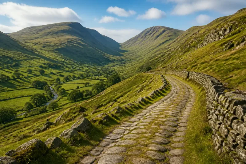
Start with the ridges, not the channel. Rain falling on one side of a ridge usually drains toward one network of creeks; rain on the other side may join a different river. The high ground forms a divide, often so subtle that a walking path or road crosses it without announcing the change.
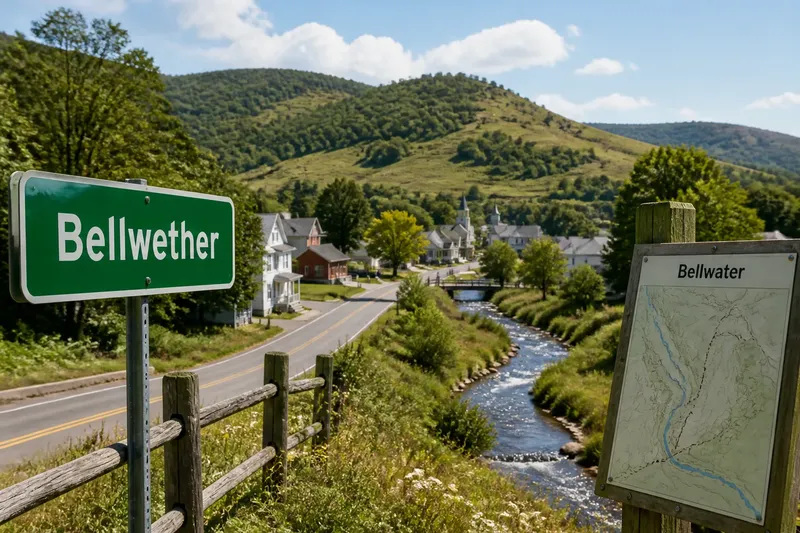
On a map, trace small blue lines uphill until they stop near a ridge. Those lines show tributaries joining larger streams, then a main river. A topographic map adds contour lines: curved lines that show elevation, with the terrain generally sloping toward the drainage channels. A shaded-relief map can make the same pattern easier to see at a glance.
“Watershed” can mean the land draining to a particular stream, or the ridge separating one drainage area from another. If the term feels slippery, look for the scale being discussed: a neighborhood creek has a small watershed nested inside a much larger river basin. The nested pattern is the useful point.
Rain’s shared route
Water does not travel only over the surface. Some soaks into soil, moves through shallow ground, and later feeds springs or streams. In paved areas, storm drains can speed runoff toward a creek, sometimes sending water from streets that seem far removed from its banks.
Imagine two towns on opposite sides of a county boundary. A wooded slope above one town drains into a creek; a ditch beside a field in the other carries water to that same creek farther downstream. The towns may have different governments, but a heavy rain can make the effects of land use in both places visible in one connected channel: muddy runoff upstream may cloud water downstream.
That connection does not mean every place in a basin has identical conditions. A forested headwater, a farm ditch, and a paved commercial district affect water differently. Their shared geography is a route of movement, not a promise that impacts or responsibilities are evenly distributed.
What water carries
Creeks move more than water. They can carry fine soil, fallen leaves, nutrients, and material washed from roads. Where a stream slows, some sediment settles; where flow is concentrated, the channel may shift or cut into its banks. These processes tie an upstream slope to places downstream, even when residents do not see the connection day to day.
Look for signs of that movement after rain: a fresh line of silt near a culvert, a fan of sand where a small stream meets a larger one, or debris caught against a bend. Such clues can help identify which little valley feeds a main channel. They are observations of flow, not a dependable way to judge water quality; avoid touching or drinking untreated water.
Not every bit of sediment or leaf travels all the way to a river’s mouth. Water spreads into wetlands, ponds, floodplains, and underground pathways, where material may settle or change course. The basin remains connected even when its contents pause, filter, or branch into side channels.
Reading the local map
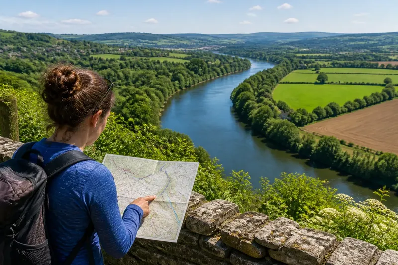
To see connections beyond a riverbank, compare a drainage map with a political map. Mark the main channel, its tributaries, and the nearest ridges, then notice where town or county lines cross those features. A boundary can divide jurisdictions without dividing the direction water flows.
Street maps can help reveal the smaller links. Check where storm drains point, where roadside ditches begin, and whether a trail or road follows a valley floor. A road crossing at a low point often has a culvert beneath it, joining drainage on either side; the culvert is a clue to a continuing route, not merely a piece of road infrastructure.
It is not worth tracing every gutter or trying to infer underground pipes from a map alone. For a useful field note, record the nearest named creek, the slope direction you can observe, and the visible tributaries. Keep uncertain connections marked as uncertain rather than drawing a neat line through ground you cannot see.
Questions about basins?
What is the difference between a river and a river basin?
A river is the channel carrying flowing water; its basin is the surrounding land that drains toward that river and its tributaries. The basin can include many communities far from the main bank.
Can one basin cross political boundaries?
Yes. A drainage area follows the shape of the land, so it can extend across municipal, county, or state lines. Water continues along its physical route even when the authority responsible for a road, drain, or stream changes.
How can I tell which way a small stream flows?
On a topographic map, contours bend upstream where they cross a valley; the pointed ends of those bends generally face uphill. In the field, look for the direction a channel descends, but use a detailed local map if the ground is flat or drainage has been altered.
Does sharing a basin mean nearby places have the same water conditions?
No. Soil, vegetation, drainage systems, land use, and local weather can differ within one basin. The shared feature is that water can connect these places through a drainage network, not that every stretch of water is alike.
Connection without sameness
A river basin gives neighboring places a physical relationship that a political map may hide: their rain can enter the same tributary system, and changes on the land can travel along that system. For a closer reading of your own area, follow one small creek uphill to its divide and downhill to its next confluence. That modest route often reveals why places beyond the riverbank belong to the same landscape, while leaving room for each place to remain distinct.